


Established in 2012 by two innovative business people Eren Özmen and Fatih Özmen, as an affiliated company of US-based Sierra Nevada Corporation (SNC), ESEN operates in the fields of aviation, spac...

ESEN commits to translating customer requirements into quality, cost-effective products and services through defined processes and providing customer satisfaction. In order to achieve this goal, ES...


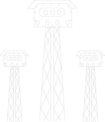
ESEN Land-based Wide Area Surveillance System (LWAS), which is a wide-area motion imagery (WAMI) solution, provides persistent overall surveillance from fixed ground platforms.
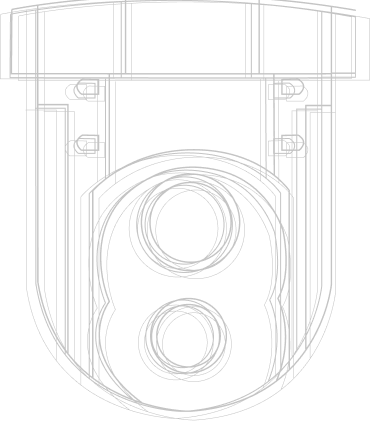
ESEN Mini Wide Area Surveillance System (MWAS), which is a wide-area motion imagery (WAMI) solution, provides persistent surveillance from aerial platforms such as Class I to Class II unmanned aerial vehicles and tethered drones. MWAS system is designed with consideration of optimizing size, weight, and power requirements.

ESEN Airborne Wide Area Surveillance System (AWAS), which is a wide-area motion imagery (WAMI) solution, provides persistent surveillance from aerial platforms. AWAS system is designed to be integrated into manned surveillance aircraft and unmanned aerial vehicles (UAVs) in Class III (MALE/HALE).
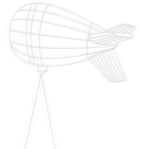
ESEN Aerostat Wide Area Surveillance System (AeroWAS), which is a wide-area motion imagery (WAMI) solution, provides persistent surveillance from aerostat platforms.

GöKHUN is the ideal UAS solution for tactical multi-mission land and ship-based operations, providing the optimum payload & endurance capacity in its class.

ESEN Mini UAS is a man-portable UAS for tactical intelligence, surveillance, and reconnaissance operations.
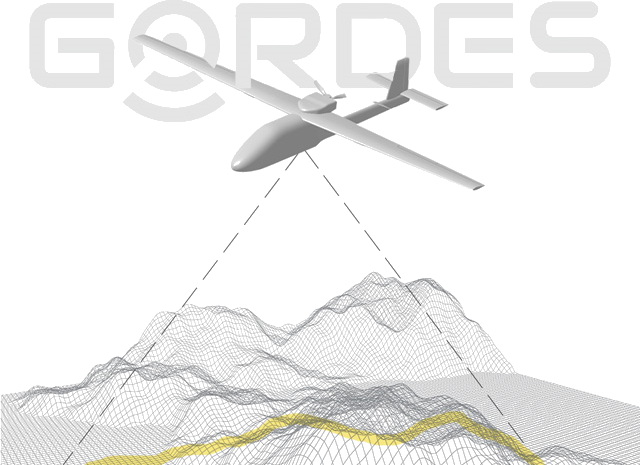
GöRDES Vision-Based Navigation Product provides accurate and real-time position, velocity and attitude information for aerial vehicles under GNSS denied conditions via onboard imaging and image processing.
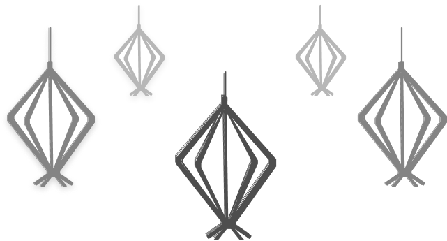
HFDF is the tactical High-Frequency Direction Finding and Monitoring System. It provides Electronic Support Measures (ESM) for communication systems in HF Band.

Airborne COMINT system covering HF, VHF, UHF frequency bands.
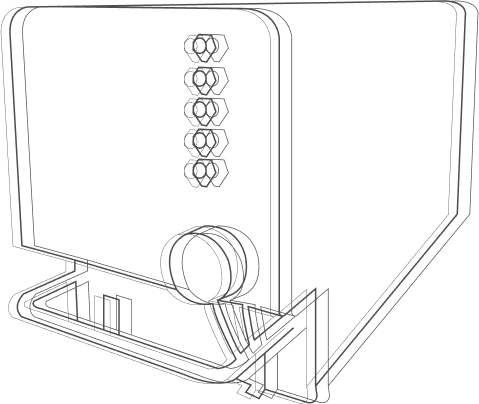
ESEN TACOS System combines ‘Traffic Collision Avoidance System’ (TCAS II) and Terrain Awareness and Warning System (TAWS) in a modular open architecture.

PORTIA Big Data Fusion and Analysis System enables data fusion and analysis on structured databases and unstructured open source data.
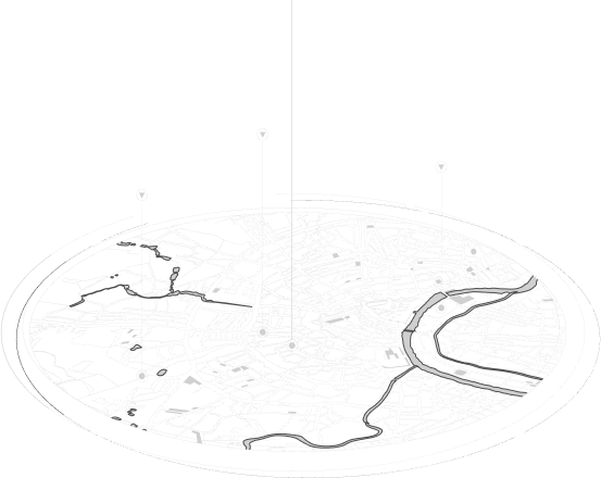
WISE23 Mission Management System provides the user with much more comprehensive and meaningful mission management support than traditional systems thanks to its artificial intelligence support and multi-sensor fusion capability.

ESEN provides modernization, updating, function enhancement, special mission conversion, system integration, and airworthiness certification consultancy services to military and civil aircraft, independently from original equipment manufacturers (OEMs), in accordance with EASA/FAA standards.

With the purpose of developing innovative avionics systems, pioneer solutions are developed for aerospace applications. Traffic and Terrain Collision Avoidance System (TACOS), Wide-Area Surveillance System (WAS) and Terrain following navigation systems co

On the field of Electronic Warfare (EW)/Signal Intelligence (SIGINT); activities are carried out on system/sub-system engineering/design and integration of these systems to land and air platforms.
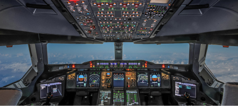
With its proven avionics products, expertise and AS-9100D & CMMI Level 3 processes, ESEN provides design and engineering services for avionics software and hardware developement projects.

ESEN has experience regarding systems and subsystems that will operate in space, starting from determination of requirements, conducting feasibility, defining operational concept and system level design. The following could be provided in this area:
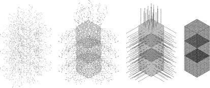
Big Data is processed and statistical analyzes are presented for structured databases and unstructured open source data.
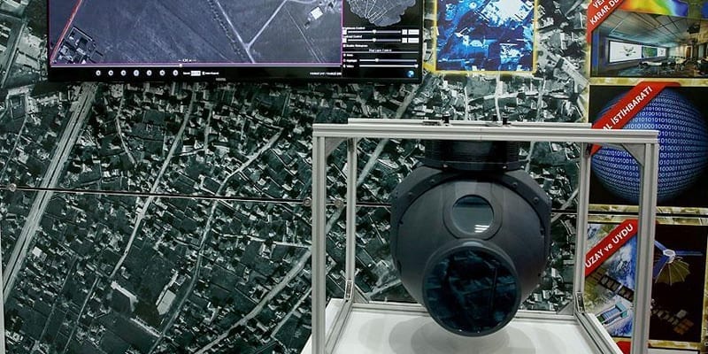
Wide Area Surveillance System are expected to be utilized more in the coming period. ASELSAN and ESEN, have decided to join their forcese for the Wide Area Surveillance System development. ESEN General Manager Cem Uğur said that they develop engineering solutions in the fields of aviation, defense and security. Emphasizing that all the solutions they produce are developed nationally by Turkish engineers, Uğur stated that the project they have been working on most since company establishment is Wide Area Surveillance System. Uğur emphasized that aerial imaging is a very important technology in the fight against terrorism and said that many existing systems control narrow area from the air. Uğur put forward that “Our system finds all objects in a very wide 4km by 4km area, that`s 16km2 area, and tracks them. Such a technology is actually groundbreaking in security. Imaging part of this system is important, yet software part is more important. This is due to impossibility to make surveillance only with human eye in such a wide area. The system we developed as Turkish engineers allows us to automatically find the elements that might pose a threat while looking at this area. Therefore, by keeping human impact to a minimum, we can find threats in a way that puts little burden on operators. We are now able to track around 3 thousand objects.” Claiming the system is developed in a way to be run in all manned and unmanned vehicles, Uğur said “We designed Wide Area Surveillance System to be used in all three domains, manned planes, unmanned aerial vehicles and fixed platforms like balloon or towers.”


